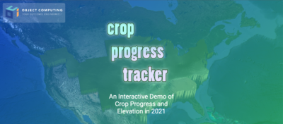
A team from Object Computing won honorable mention this month in the Google Maps Hackathon. The team included Geospatial Data Engineer Quinsen Joel, Senior Data Engineer Jimmy Moore, and Software Engineer Syd Hajicek, Senior Design Engineer Jason Butler, and Object Computing’s data insights team. Their data visualization entry, Crop Progress Tracker, was one of eight winners of 138 submissions. They were awarded virtual coffee with a Google Maps team member, promotion of their hackathon project, and $1,000 cash prize.
Google Maps, which provides real-world insights and location solutions to web and mobile applications, invited hackathon participants to build an application using at least two Google Maps APIs. The Crop Progress Tracker app visualizes the USDA crop progress dataset in a 3D-rendered mesh in weekly time steps throughout the 2021 corn growing season. Environmental context is given in the form of elevation (meters), latitude, longitude, and state boundaries. The visualization can either play automatically with an animation or can be manually controlled by the user.
“Agriculture is one of Object Computing’s strongest domains,” Joel said. “As we grow our geospatial capabilities, we are looking for more sophisticated ways to show off our analytics results and visualize solution data to customers. During one of our projects, we found the USDA's crop progress data to be highly relevant to our domain, and its temporal aspect offered itself up nicely for a time-based visualization.”
The Object Computing team used the Svelte/Typescript framework in Node JS to build the functionality and design of the web app, Google AppEngine to deploy the web app, and Google Earth Engine to style and generate map tiles of the USDA crop data. The Deck.GL library was used to create the 3D mesh (TerrainLayer) and state boundary (GeoJsonLayer) overlays, which were hosted inside the Google Maps API Maps object.
Separate map tiles were produced for the elevation and texture for the 3D mesh. The Google Maps Elevation API is called every time the map moves and updates the elevation ticker with new data.
“We learned a lot about web image rendering, and how precise color mapping is needed to relate raster values to a final rendered output,” said Hajicek.
“By working with Google Earth Engine, we've developed more sophisticated ways to visualize solution data, providing insight into hidden patterns and deeper trends,” said Moore. “This insight will drive businesses' to make confident and impactful decisions.”
